You Can’t Breathe What You Can’t See: The Invisible Frontline of Canadian Wildfires
Wildfire smoke doesn’t burn homes — it infiltrates lungs, blinds cities, and rewrites the rules of safety. The Canadian wildfire smoke map isn’t just data. It’s a warning.

Introduction
What if the most dangerous part of a wildfire wasn’t the flame — but the fog it leaves behind? Canada’s wildfire seasons are no longer a local emergency. They're transnational crises, coded into satellites, relayed via real-time smoke maps, and embedded in the air we breathe in Toronto, New York, and even Europe. As flames scorch boreal forests, it’s the smoke—silent, spreading, suffocating—that’s quietly disrupting lives, businesses, and air quality across continents. This blog explores the eerie intelligence of wildfire smoke maps, their growing relevance, and how visibility—both literal and technological—has become the frontline in a new kind of atmospheric war.

Quick Summary / Key Takeaways
-
Wildfire smoke maps now guide health warnings, flight routes, and public safety protocols.
-
Canadian smoke is affecting cities thousands of miles away—changing international air quality.
-
Traditional safety systems and cameras often fail in dense smoke.
-
ArcadianAI’s dynamic surveillance stays functional when visibility is near zero.
-
We must treat wildfire smoke like a weaponized force—not just an aftereffect.
Background & Relevance
The Data Behind the Haze
2023 and 2024 were the worst wildfire years in Canadian history. Over 18.4 million hectares burned, and more than 600 million tonnes of CO₂ were released—double the annual emissions of the entire country. But what’s often missed in media coverage is not the fire—it’s the smoke plume that invades the sky, invades lungs, and invades urban operations.
Why Wildfire Smoke Maps Matter
Maps from platforms like NASA's Fire Information for Resource Management System (FIRMS), BlueSky Canada, and AirNow.gov are no longer niche tools for meteorologists. They're tools for parents, pilots, doctors, logistics managers, and security professionals. They determine everything from whether your flight will be delayed to whether your child should go to school.
Core Topic Exploration
Anatomy of a Smoke Map
A Canadian wildfire smoke map is not a static image. It is an evolving satellite-based composite that layers wind vectors, particulate matter (PM2.5 and PM10), fire hotspots, and visibility degradation zones. These maps are powered by:
-
NASA MODIS & VIIRS satellites
-
GOES-16 and GOES-17 imagery
-
Environment and Climate Change Canada (ECCC) models
-
Air Quality Health Index (AQHI) sensors
These data sources are fused using AI prediction models to provide hour-by-hour smoke predictions, sometimes days ahead.
How Smoke Crosses Borders Faster Than Firefighters
Smoke doesn't wait for politicians or firefighting coordination. It travels faster than containment plans. In 2023, smoke from Quebec reached New York City in less than 24 hours. Air quality indexes (AQIs) in Manhattan spiked to over 400, prompting school closures and emergency alerts. The fires were in Canada. But the emergency was global.
Health Effects and Economic Fallout
While people often prepare for fires by clearing brush or upgrading roofs, few prepare for smoke.
-
PM2.5 particles—invisible to the naked eye—penetrate deep into lungs and even enter the bloodstream.
-
Health Canada estimated over 2,500 premature deaths in 2023 due to wildfire smoke exposure.
-
The economic cost of smoke-related health issues reached $11 billion in 2023 alone.
Security Tech Fails in Smoke — Here’s Why That Matters
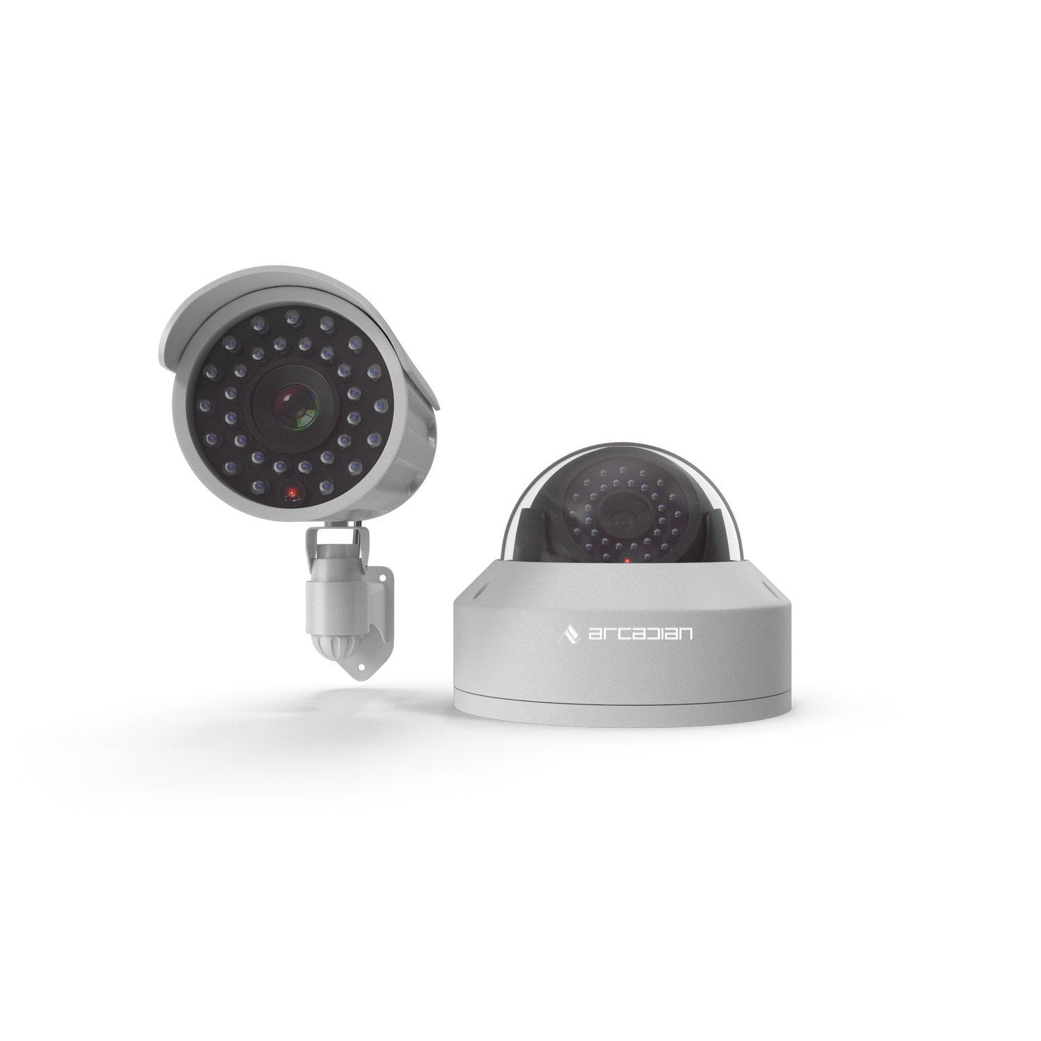
Most surveillance systems rely on visual input. When smoke density passes a certain threshold, even thermal cameras start misfiring. AI-based motion detection? Completely unreliable in thick haze. NVR-based cameras without environmental sensors become blind and deaf during smoke events.
This isn’t theoretical — in June 2023, during smoke events in Ontario, multiple retail centers and warehouses reported delayed break-in detection due to camera visibility loss.
Comparisons & Use Cases
| Surveillance Condition | Traditional CCTV / NVR | Cloud AI (e.g., Verkada) | ArcadianAI + Ranger |
|---|---|---|---|
| Dense Smoke / Haze | ❌ Blind | ⚠️ Partial Failure | ✅ Adaptive Tracking |
| PM2.5 Detection | ❌ None | ⚠️ Air sensors optional | ✅ Built-in Alerts |
| Remote Monitoring During Fires | ⚠️ Local Storage Only | ✅ Cloud View | ✅ Edge + Cloud Hybrid |
| Smoke Map Integration | ❌ None | ❌ Limited | ✅ Live Feeds + Alerts |
Use Case: Retail Distribution Center in British Columbia
During July 2023 wildfires, a major logistics firm lost full visibility of their yard due to smoke. Their existing cameras showed a blank gray feed. ArcadianAI’s Ranger adjusted motion detection thresholds, used sound and thermal fusion, and sent early alerts despite visual degradation.
Use Case: Hospital in Alberta
When wildfire smoke forced ER diversions, hospital security couldn’t identify incoming vehicles due to poor visibility. ArcadianAI integrated with live air quality sensors and focused analytics on audible and motion-based cues.
Common Questions (FAQ)
What does a Canadian wildfire smoke map show?
It visualizes the current and projected movement of wildfire smoke using satellite data, wind patterns, and air quality sensors. Key metrics include PM2.5, PM10, AQI, and smoke thickness.
How accurate are wildfire smoke maps?
Modern smoke maps can predict spread 24–72 hours in advance with up to 90% accuracy, depending on wind shifts and fire behavior.
Can traditional security cameras work in wildfire smoke?
No. Most fail due to poor visibility, and even thermal imaging is distorted by dense particulates and heat haze.
What’s the difference between fire maps and smoke maps?
Fire maps track where flames are burning. Smoke maps track the invisible threat—where smoke is headed, who it will affect, and how.
How does ArcadianAI handle smoke?
Ranger uses adaptive AI to switch modes in low visibility, combining sound, motion, and thermal cues. It also correlates with smoke maps to reconfigure alert logic in real-time.
Conclusion & CTA
Wildfires are burning a hole through more than just Canada’s forests. They’re tearing into our assumptions about safety, visibility, and borders. While firefighting efforts are heroic, the smoke maps show us a terrifying truth: we can’t protect what we can’t see. Traditional surveillance systems were built for sunny days, not for smoky nights. ArcadianAI offers a system that doesn't just watch—it adapts, breathes, and warns.
If your security goes blind during a smoke event, it’s not just a risk—it’s a liability.
Take back control. Schedule a demo with ArcadianAI today:
👉 https://www.arcadian.ai/pages/get-demo

Security is like insurance—until you need it, you don’t think about it.
But when something goes wrong? Break-ins, theft, liability claims—suddenly, it’s all you think about.
ArcadianAI upgrades your security to the AI era—no new hardware, no sky-high costs, just smart protection that works.
→ Stop security incidents before they happen
→ Cut security costs without cutting corners
→ Run your business without the worry
Because the best security isn’t reactive—it’s proactive.


